Datasets
LCDB and Waikato Regional Aerial Photography (2017)
Description:
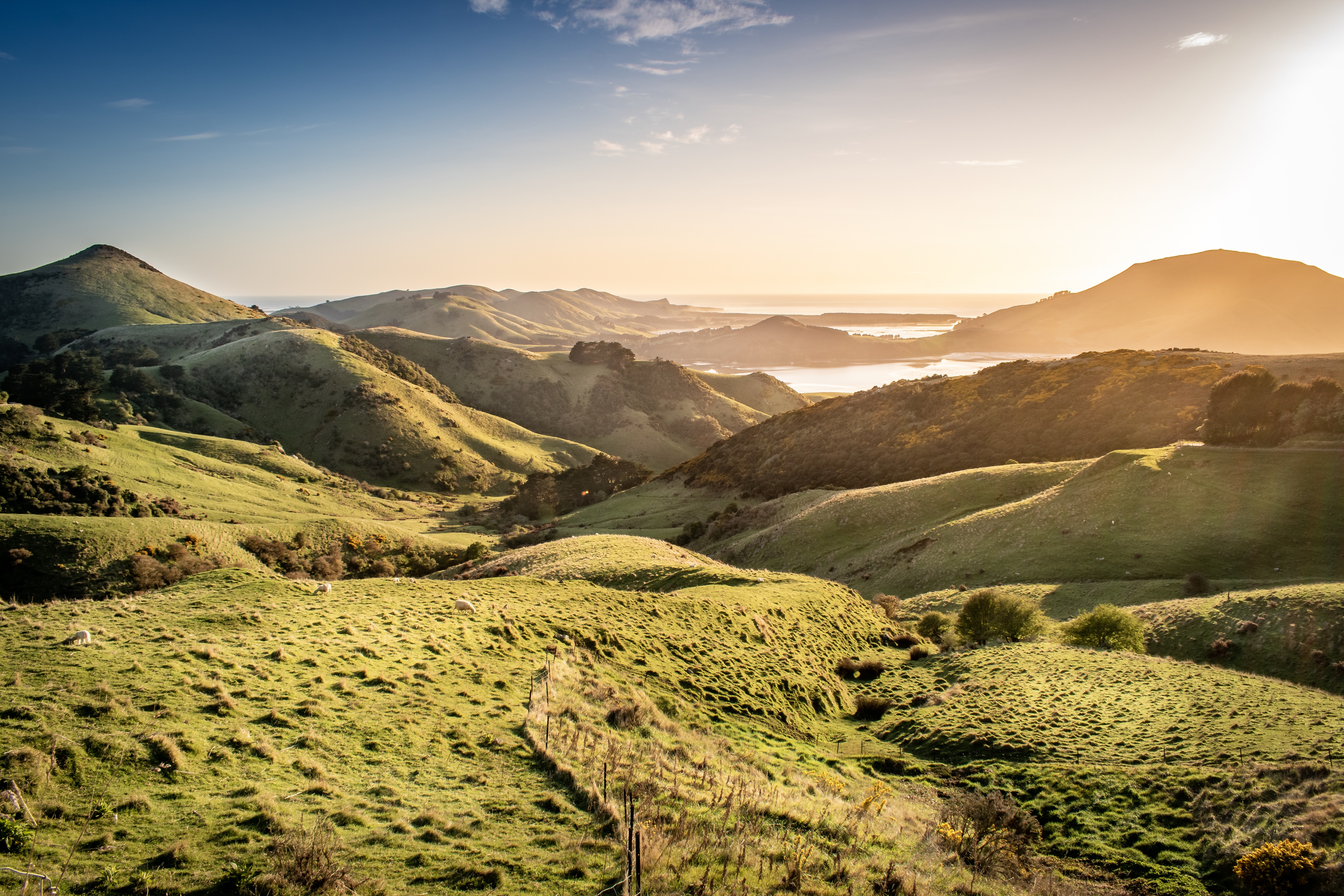
Land cover database (LCDB) and Waikato Regional Aerial Photography paired imagery for the Waikato region taken in 2017. This data is available in PNG files, with the folders defining the classes (land-use) of the images. The classification folder (classification.tar) contains the image, while the segmentation folder (segmentation.tar) contains the mask of the image segmented by land use. The classes in this dataset include broadleaved_indigenous_hardwood, deciduous_hardwood, exotic_forest, grose_broom, harvested_forest, herbaceous_freshwater_vege, high_producing_grassland, indigenous_forest, lake_pond, low_producing_grassland, manuka_kanuka, shortrotation_cropland, urban_build_up, urban_parkland, flaxland, permanent_snowfall, landslide, matagouri_greyshrub, estuarine, alpine_grass, sub_alpine_shrubland, mangrove, tall_tussock_grassland, river_stream, transport_infrastructure, gravel_rock, mixed_exotic_shrubland, surface_mine, herbaceous_saline_vege, sand_gravel, orchard_vineyard, depleted_grassland, fernland
Metadata:
Land
TAIAO Project
University of Waikato
Creative Commons Attribution 4.0 International (CC BY)
Waikato Region, New Zealand
2017
Other
None
Access via Website
Discussions
No discussion started yet