Datasets
Waikato Multi Label Aerial Imagery Dataset

Description:
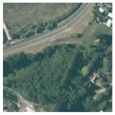
Effective land use management is crucial for balancing development against environmental sustainability, preservation of biodiversity, and resilience to climate change impacts. Despite this, there is a notable scarcity of comprehensive aerial imagery datasets for refining and improving machine learning frameworks to better inform policy making. In this paper, we introduce a substantial aerial imagery dataset from New Zealand curated for the Waikato region, spanning 25,000 km2, specifically to address this gap and empower global research efforts. The dataset comprises of a main set, containing more than 140,000 images, with three supplementary sets. Each image in the main dataset is annotated with 33 fine-grained, multi-labeled classes and approximate segmentation masks of the classes, and the three supplementary datasets cover spatially coincident satellite imagery and aerial imagery five years prior and five years later from the main dataset.
Metadata:
Land
TAIAO
Zenodo
Multi Label Image Classification of land cover types Evaluating model explanations of the classification
Creative Commons Attribution 4.0 International (CC BY)
Waikato Region
2012-2023
JPG, CSV
Other
141412 Images, 400,000+ mask
Access via Website
Discussions
No discussion started yet
